Landscape Photography
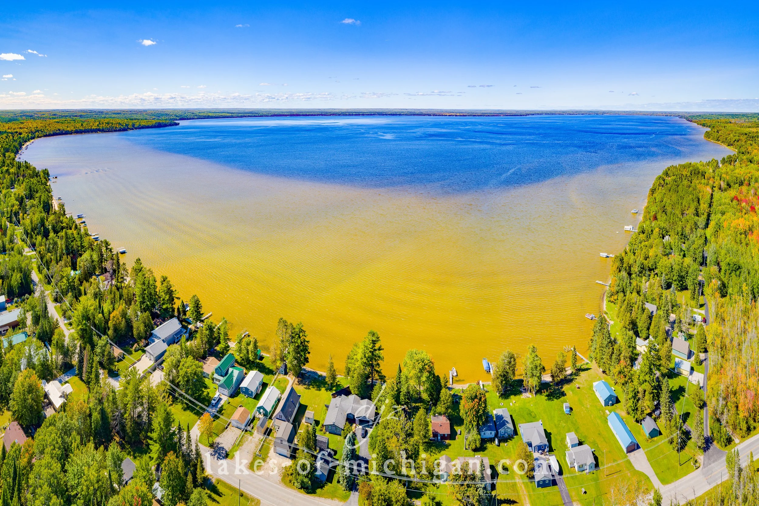
Mullett Lake near Cheboygan Aerial Photo from North
Situated between Cheboygan and Indian River, Mullett Lake is about 20 miles south of the Mackinac Bridge at the north end of Michigan's lower peninsula. This aerial photo was taken on a summer morning from north of the lake.
Situated between Cheboygan and Indian River, Mullett Lake is about 20 miles south of the Mackinac Bridge at the north end of Michigan's lower peninsula. This aerial photo was taken on a summer morning from north of the lake.
Prints are available to purchase by clicking the image above or by visiting lakes-of-michigan.com.
Burt Lake near Indian River Aerial Photo from SE
Burt Lake is located near Indian River, south of Cheboygan and east of Petoskey in Cheboygan County in Michigan's lower peninsula. This aerial photo was taken southeast of the lake in mid-September.
Burt Lake is located near Indian River, south of Cheboygan and east of Petoskey in Cheboygan County in Michigan's lower peninsula. This aerial photo was taken southeast of the lake in mid-September.
Prints are available to purchase by clicking the image above or by visiting lakes-of-michigan.com.
Black Lake near Cheboygan Aerial Photo from East
Black Lake is located about 12 miles southeast of Cheboygan at the north end of Michigan's lower peninsula. It rests on the border of Cheboygan County and Presque Isle County. This aerial photo was taken from east of the lake on a late summer day.
Black Lake is located about 12 miles southeast of Cheboygan at the north end of Michigan's lower peninsula. It rests on the border of Cheboygan County and Presque Isle County. This aerial photo was taken from east of the lake on a late summer day.
Prints are available to purchase by clicking the image above or by visiting lakes-of-michigan.com.


