Landscape Photography
Point Betsie Lighthouse Aerial Photo near Frankfort
This is an aerial photo of the Point Betsie Lighthouse near Frankfort, taken on a summer day. This lighthouse is located on the shores of Lake Michigan, just west of Crystal Lake (shown in the background).
This is an aerial photo of the Point Betsie Lighthouse near Frankfort, taken on a summer day. This lighthouse is located on the shores of Lake Michigan, just west of Crystal Lake (shown in the background).
Prints are available to purchase by clicking the image above or by visiting lakes-of-michigan.com.
Pine Lake near Pontiac Aerial Photo from West
Pine Lake is located southwest of Pontiac in Oakland County in Michigan's lower peninsula. This aerial photo was taken west of the lake during peak fall foliage color.
Pine Lake is located southwest of Pontiac in Oakland County in Michigan's lower peninsula. This aerial photo was taken west of the lake during peak fall foliage color.
Prints are available to purchase by clicking the image above or by visiting lakes-of-michigan.com.
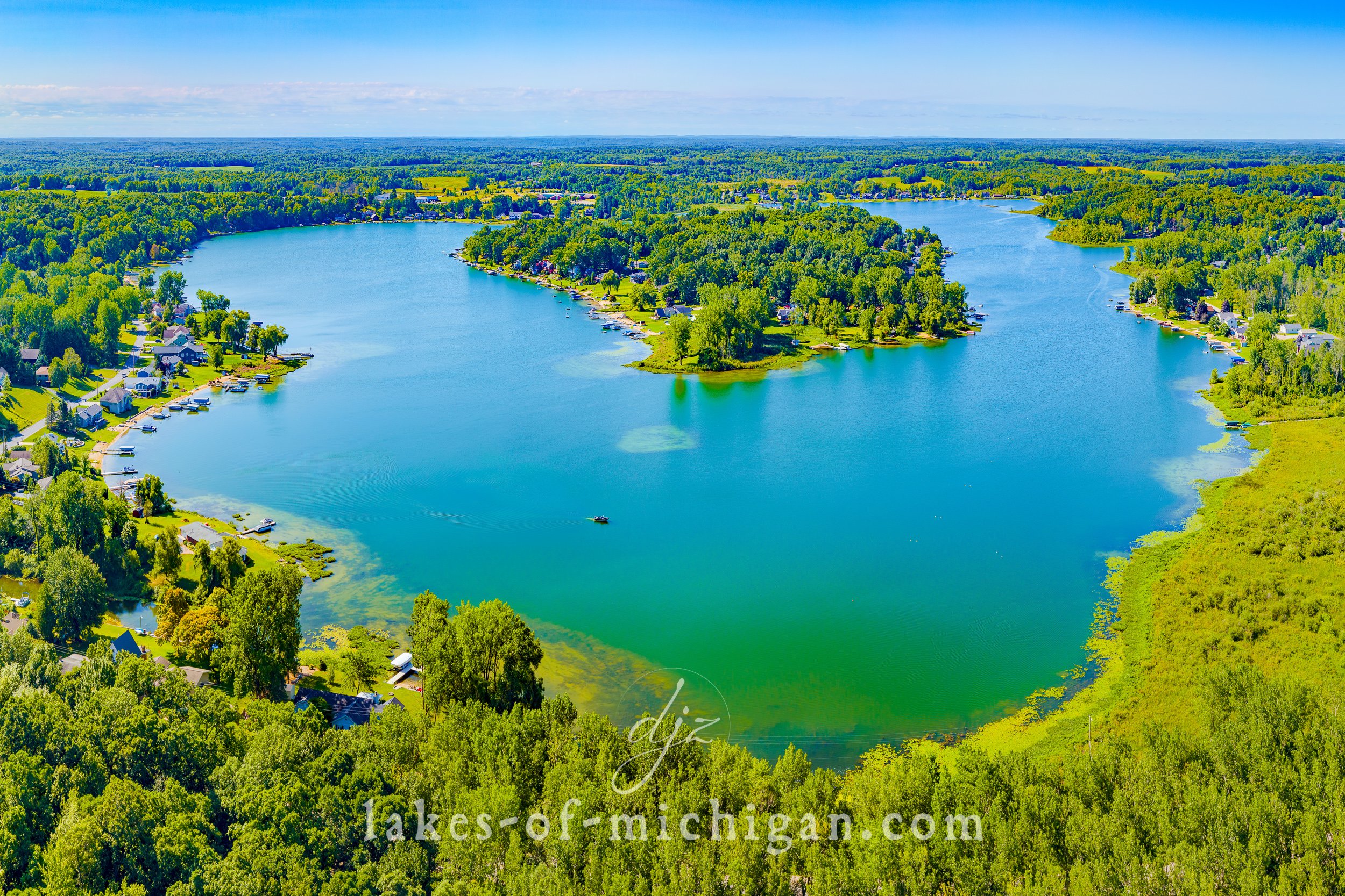
Pine Lake near Plainwell Aerial Photo from West
Pine Lake is located West of Delton and Northeast of Plainwell in Barry County in Michigan's lower peninsula. This aerial photo was taken on a summer day from West of the lake.
Pine Lake is located West of Delton and Northeast of Plainwell in Barry County in Michigan's lower peninsula. This aerial photo was taken on a summer day from West of the lake.
Prints are available to purchase by clicking the image above or by visiting lakes-of-michigan.com.
Petoskey State Park in Little Traverse Bay Aerial Photo from SE
Petoskey State Park is located at the east end of Little Traverse Bay near Petoskey along the northwest shores of Michigan's lower peninsula. This aerial photo was taken on a hot summer afternoon from southeast of the park's shoreline.
Petoskey State Park is located at the east end of Little Traverse Bay near Petoskey along the northwest shores of Michigan's lower peninsula. This aerial photo was taken on a hot summer afternoon from southeast of the park's shoreline.
Prints are available to purchase by clicking the image above or by visiting lakes-of-michigan.com.
Petoskey Breakwater and Marina in Little Traverse Bay
Little Traverse Bay is situated between Harbor Springs and Petoskey, northeast of Charlevoix, on the shores of Emmet County in Michigan's lower peninsula. This aerial photo was taken near the Petoskey Harbor Breakwater from south of the Bay on a summer afternoon. In the foreground are the Petoskey Harbor Breakwater Pier, Petoskey City Marina, and Bayfront Park.
Little Traverse Bay is situated between Harbor Springs and Petoskey, northeast of Charlevoix, on the shores of Emmet County in Michigan's lower peninsula. This aerial photo was taken near the Petoskey Harbor Breakwater from south of the Bay on a summer afternoon. In the foreground are the Petoskey Harbor Breakwater Pier, Petoskey City Marina, and Bayfront Park.
Prints are available to purchase by clicking the image above or by visiting lakes-of-michigan.com.
Palmer Lake near Colon Aerial Photo from North
Palmer Lake is located near Colon about halfway between Three Rivers and Coldwater in St. Joseph County in Michigan's lower peninsula. This aerial photo was taken on a summer morning from north of the lake.
Palmer Lake is located near Colon about halfway between Three Rivers and Coldwater in St. Joseph County in Michigan's lower peninsula. This aerial photo was taken on a summer morning from north of the lake.
Prints are available to purchase by clicking the image above or by visiting lakes-of-michigan.com.
Otsego Lake near Gaylord Aerial Photo from SW
Otsego Lake is about 1 mile south of Gaylord on to the west of I-75 in Otsego County in Michigan's lower peninsula. This aerial photo was taken from SW of the lake on a summer day.
Otsego Lake is about 1 mile south of Gaylord on to the west of I-75 in Otsego County in Michigan's lower peninsula. This aerial photo was taken from SW of the lake on a summer day.
Prints are available to purchase by clicking the image above or by visiting lakes-of-michigan.com.
Orchard Lake near Pontiac Fall Colors Aerial Photo from NW
Orchard Lake is located southwest of Pontiac in Oakland County in Michigan's lower peninsula. This aerial photo was taken northwest of the lake during peak fall foliage color.
Orchard Lake is located southwest of Pontiac in Oakland County in Michigan's lower peninsula. This aerial photo was taken northwest of the lake during peak fall foliage color.
Prints are available to purchase by clicking the image above or by visiting lakes-of-michigan.com.
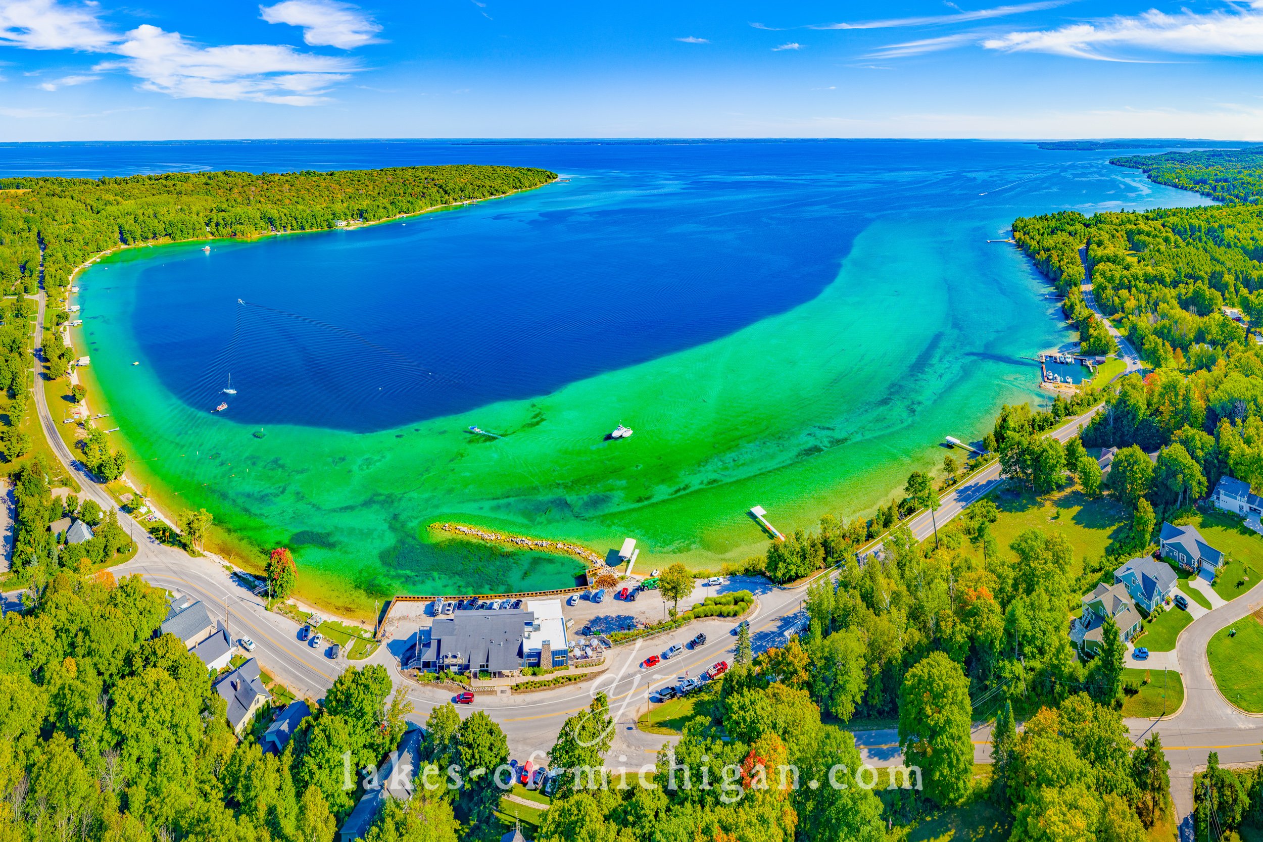
Omena Bay on the Leelanau Peninsula Aerial Photo from NW
Omena Bay is located on the Leelanau Peninsula north of Peshawbestown and south of Northport on the northwest shores of Michigan's lower peninsula. Omena Bay looks out over Grand Traverse Bay towards Traverse City. From Omena you can get to Suttons Bay in about 10 minutes by heading south on M22, or travel to Northport in about 8 minutes by heading north. This aerial photo was taken in the summer from northwest of the bay.
Omena Bay is located on the Leelanau Peninsula north of Peshawbestown and south of Northport on the northwest shores of Michigan's lower peninsula. Omena Bay looks out over Grand Traverse Bay towards Traverse City. From Omena you can get to Suttons Bay in about 10 minutes by heading south on M22, or travel to Northport in about 8 minutes by heading north. This aerial photo was taken in the summer from northwest of the bay.
Prints are available to purchase by clicking the image above or by visiting lakes-of-michigan.com.
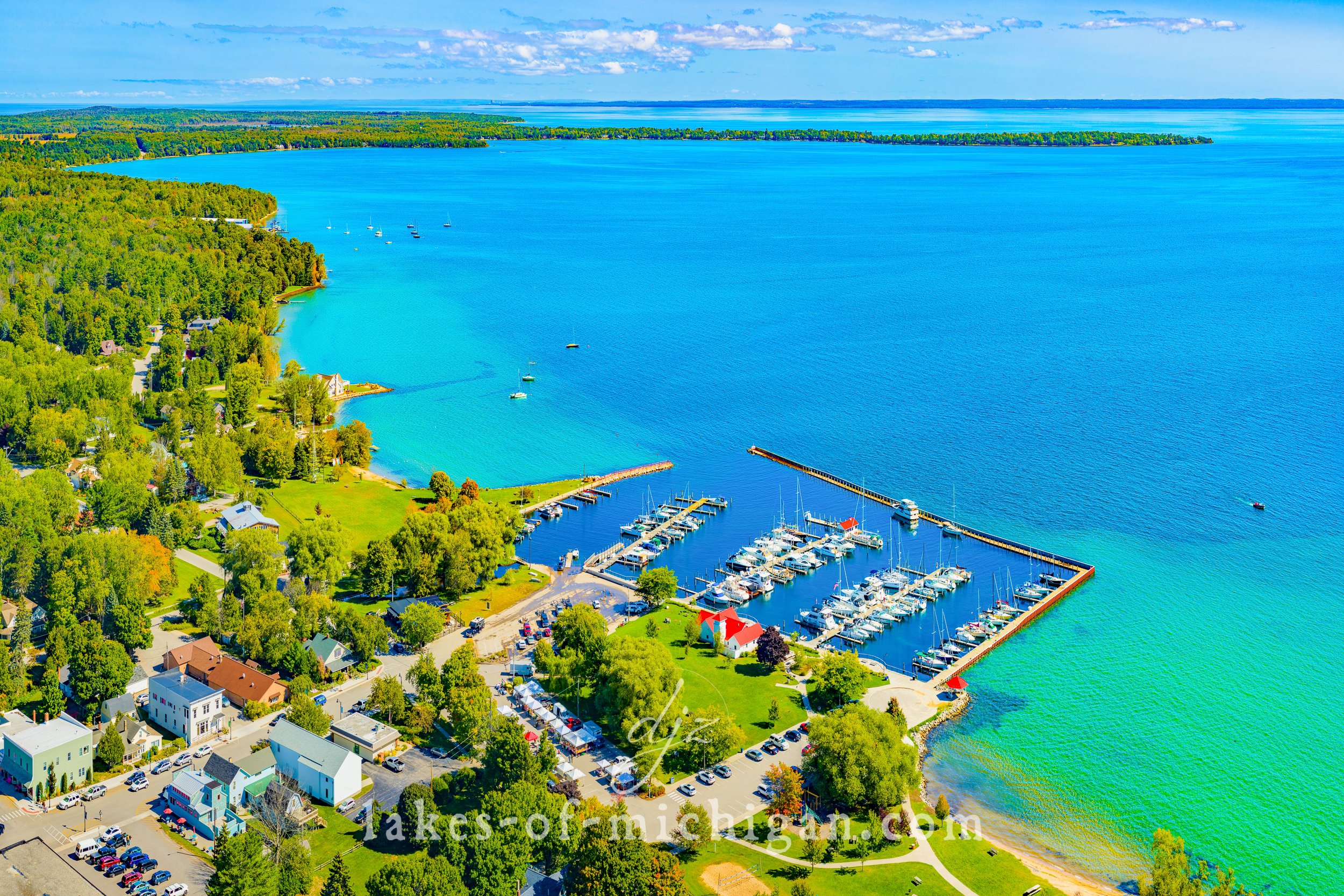
Old Mission Harbor near Traverse City from N
Old Mission Harbor is located on the Old Mission Peninsula about 14 miles north of Traverse City within Grand Traverse Bay. This aerial photo was taken on a summer afternoon from north of the harbor facing the East Arm of the Grand Traverse Bay.
Old Mission Harbor is located on the Old Mission Peninsula about 14 miles north of Traverse City within Grand Traverse Bay. This aerial photo was taken on a summer afternoon from north of the harbor facing the East Arm of the Grand Traverse Bay.
Prints are available to purchase by clicking the image above or by visiting lakes-of-michigan.com
Old Mackinac Point Lighthouse with Mackinac Bridge Morning Aerial Photo
The Old Mackinac Point Lighthouse is located in Alexander Henry Park in Mackinaw City at the northern tip of Michigan's lower peninsula. This photo, which also features the Mackinac Bridge, was taken on a summer morning.
The Old Mackinac Point Lighthouse is located in Alexander Henry Park in Mackinaw City at the northern tip of Michigan's lower peninsula. This photo, which also features the Mackinac Bridge, was taken on a summer morning.
Prints are available to purchase by clicking the image above or by visiting lakes-of-michigan.com.
Northport Bay on the Leelanau Peninsula Aerial Photo from W
Northport Bay is located near the northern tip of the Leelanau Peninsula in Leelanau County near Northport, about 25 miles north of Traverse City in Michigan's lower peninsula. This aerial photo was taken from West of the bay on a summer day in 2020.
Northport Bay is located near the northern tip of the Leelanau Peninsula in Leelanau County near Northport, about 25 miles north of Traverse City in Michigan's lower peninsula. This aerial photo was taken from West of the bay on a summer day in 2020.
Prints are available to purchase by clicking the image above or by visiting lakes-of-michigan.com.
Northport Bay on the Leelanau Peninsula Aerial Photo from South
Northport Bay is located near the northern tip of the Leelanau Peninsula in Leelanau County near Northport, about 25 miles north of Traverse City in Michigan's lower peninsula. This aerial photo was taken from South of the bay on a summer day.
Northport Bay is located near the northern tip of the Leelanau Peninsula in Leelanau County near Northport, about 25 miles north of Traverse City in Michigan's lower peninsula. This aerial photo was taken from South of the bay on a summer day.
Prints are available to purchase by clicking the image above or by visiting lakes-of-michigan.com
Northport Bay on the Leelanau Peninsula Aerial Photo from N
Northport Bay is located near the northern tip of the Leelanau Peninsula in Leelanau County near Northport, about 25 miles north of Traverse City in Michigan's lower peninsula. This aerial photo was taken from North of the bay on a summer day.
Northport Bay is located near the northern tip of the Leelanau Peninsula in Leelanau County near Northport, about 25 miles north of Traverse City in Michigan's lower peninsula. This aerial photo was taken from North of the bay on a summer day.
Prints are available to purchase by clicking the image above or by visiting lakes-of-michigan.com.
Myers Lake near Rockford Aerial Photo from SE
Located near Rockford, Myers Lake is about 15 miles northeast of Grand Rapids in Michigan's lower peninsula. This aerial photo was taken southeast of the lake on a summer day.
Located near Rockford, Myers Lake is about 15 miles northeast of Grand Rapids in Michigan's lower peninsula. This aerial photo was taken southeast of the lake on a summer day.
Prints are available to purchase by clicking the image above or by visiting lakes-of-michigan.com.
Muskegon South Pierhead and Breakwater Lights at Sunset
This photo was taken just before sunset on December 20th, 2020 from the walkway along the channel connecting Muskegon Lake to Lake Michigan.
This photo was taken just before sunset on December 20th, 2020 from the walkway along the channel connecting Muskegon Lake to Lake Michigan.
Prints are available to purchase by clicking the image above or by visiting lakes-of-michigan.com.
Muskegon Lighthouses with Full Moon on July 5th 2020
This is a shot of the full moon over the Muskegon South Breakwater Light and the Muskegon South Pierhead Lighthouse on July 5th, 2020.
This is a shot of the full moon over the Muskegon South Breakwater Light and the Muskegon South Pierhead Lighthouse on July 5th, 2020.
Prints are available to purchase by clicking the image above or by visiting lakes-of-michigan.com.
Muskegon Lake near Muskegon Aerial Photo from SW
Muskegon Lake is located near Muskegon in Muskegon County in Michigan's lower peninsula, and connects Bear Lake to Lake Michigan. This photo was taken southwest of the lake on a summer day.
Muskegon Lake is located near Muskegon in Muskegon County in Michigan's lower peninsula, and connects Bear Lake to Lake Michigan. This photo was taken southwest of the lake on a summer day.
Prints are available to purchase by clicking the image above or by visiting lakes-of-michigan.com.
Murray Lake near Lowell Aerial Photo from North
Murray Lake is located near Alton, north of Lowell and southwest of Belding in Kent County in Michigan's lower peninsula. This aerial photo was taken north of the lake on a summer day.
Murray Lake is located near Alton, north of Lowell and southwest of Belding in Kent County in Michigan's lower peninsula. This aerial photo was taken north of the lake on a summer day.
Prints are available to purchase by clicking the image above or by visiting lakes-of-michigan.com.
Mullett Lake near Cheboygan Aerial Photo from North
Situated between Cheboygan and Indian River, Mullett Lake is about 20 miles south of the Mackinac Bridge at the north end of Michigan's lower peninsula. This aerial photo was taken on a summer morning from north of the lake.
Situated between Cheboygan and Indian River, Mullett Lake is about 20 miles south of the Mackinac Bridge at the north end of Michigan's lower peninsula. This aerial photo was taken on a summer morning from north of the lake.
Prints are available to purchase by clicking the image above or by visiting lakes-of-michigan.com.


